Day 26 of C2Cx2 – Muker to Richmond, Thursday 25 September 2014.
Statistics:
distance - 19.9 miles
moving speed – 3.2 mph
start – 9.20 am
finish – 6.20 pm
moving – 6h 08m
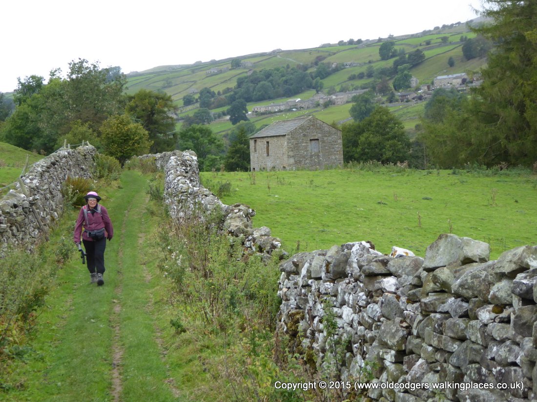
We were going to have another long day from Muker to Richmond. Graham had chosen what looked like the most direct and least hilly route after poring over the Harvey and OS maps. We planned to walk along the road to Ivelet Bridge, across fields to Gunnerside, along road or riverbank to cross the Swale again at Isles Bridge, then follow Low Lane and a road until we could follow a path along the southern bank of the Swale as far as Grinton. We would again cross the Swale at Grinton and rejoin the C2C route to Richmond.
We had breakfast at 8 am. Graham's cooked breakfast included the best bacon of the walk. Mary just had toast. After another long chat with John and Joyce we set off at 9.20. It was another cool, grey morning, with mist hanging over the fell tops. We could just make out the top of Kisdon Hill through the gloom. Our walk along the road was disturbed by only a couple of cars. At a turnoff over the ridge to the south was a sign 'Askrigg 5' – we were very near the NoEW route we had taken a little over two weeks ago.

'Straw Beck and Muker'

'Passing a hay barn'
Mary was amused by the 'Weak bridge' sign at Ivelet Bridge – the shape and proportions of the bridge were beautiful, despite the apparent recent repair. The friends we had met at Boot had told us about their way being blocked by a large articulated truck that had become wedged on the bridge –this could have been the cause of the damage necessitating repair.

'Weak bridge sign'

'The weak bridge – Ivelet'
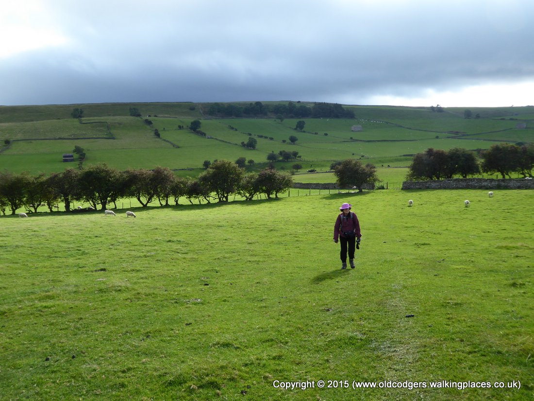
From Ivelet we walked high on the bank of the Swale, then cut across fields to Gunnerside where we made use of the public toilets. We followed the road out of Gunnerside to see the classic view of the hay barns in the water meadows beside the Swale. The road was quite busy so we diverted to the riverside path. However, floods had destroyed sections of the path so we again took to the road for a short section before Isles Bridge. We stopped for morning tea by the river in the lee of the bridge out of the grip of the chilly westerly wind.

'The Swale near Gunnerside'

'Hay barns and water meadows, Gunnerside'
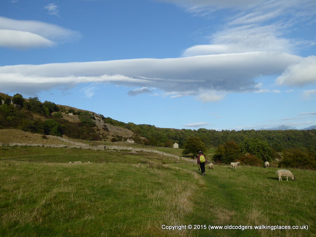
We crossed Isles Bridge, followed the road to Low Houses then an enclosed bridleway with views over the Swale to Low Row and Feetham. After a brief section of road walking past Whita Bridge, we descended to a path beside the Swale. We walked across fields where the river meandered past Reeth then, where the path briefly rejoined the Swale, we had great views of a dipper feeding.
'Following an enclosed bridleway, Low Row across the Swale'

'Back down to the Swale'

'Reeth across the Swale'

'Dipper'
At Grinton we paused outside the church that was the destination of the coffin route we had begun following at Keld. For the remainder of the afternoon we retraced our steps in 2010 along the C2C. After Marrick Priory and the Nun's Steps, we stopped at 2.30 for lunch in Marrick village on a bench outside what had been the village church.

'Grinton church – end of the coffin route from Muker'

'The Nun's steps from Marrick Priory'

'Lunch in Marrick village'
The afternoon walk crossed undulating green pastures, passed through the village of Marske, climbed to Applegarth Scar, went through Whitecliffe Wood then gently descended into Richmond. There were some heavy grey clouds, patches of sunshine, and a westerly gale that almost blew us over on exposed hillsides. The highlight was watching two male pheasants facing off beside the track through the woods. All other pheasants we had seen had been wary and ran or flew away as soon as they saw us – we assume that unwary pheasants had been dinner for fox or man. The two males were involved in a territorial or dominance dispute, circling, head bobbing, pecking and not taking their eyes off each other. Neither was prepared to give way to the other bird, even as we walked within a metre. The descent to Richmond gave us views over the town and its castle, and in the distance was Sutton Bank which we had walked over almost three weeks ago.
'Grey clouds over Ellers Beck valley'
'Clouds in a blue sky over Applegarth Scar'

'Pheasants face-off'

'Whitecliffe Wood'

'Richmond town and castle, Sutton Bank on the horizon'
We arrived at our B&B at 6.20. We had walked 19.9 miles at a moving average of 3.2 mph. This was the same speed we had achieved on our previous long day from Shap to Kirkby Stephen.
On entering Williance House we immediately removed our boots under supervision and placed the boots and our sticks in the specified storage area. We were shown to a pleasant room overlooking the charming street scene, and arrangements were explained to us, including the laundry service that we immediately took advantage of.
We set off in search of dinner at 7.30. We found the restaurant we had enjoyed in 2010, French Rustique, and booked for the following evening. We then went next door for drinks and a meal in the Black Lion. Graham's steak pie was average, but Mary's sea bass with olives and capers was very good, so we followed with jam roly-poly. We were in bed by 10.